
Inventory and mappingMonitor
Every palm and tree on the map, with its own record.
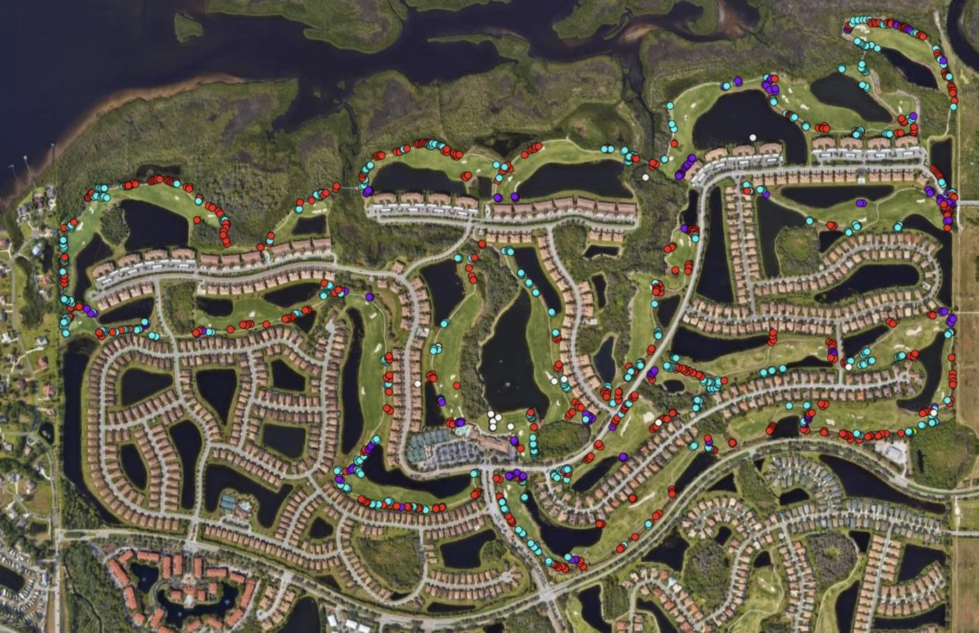
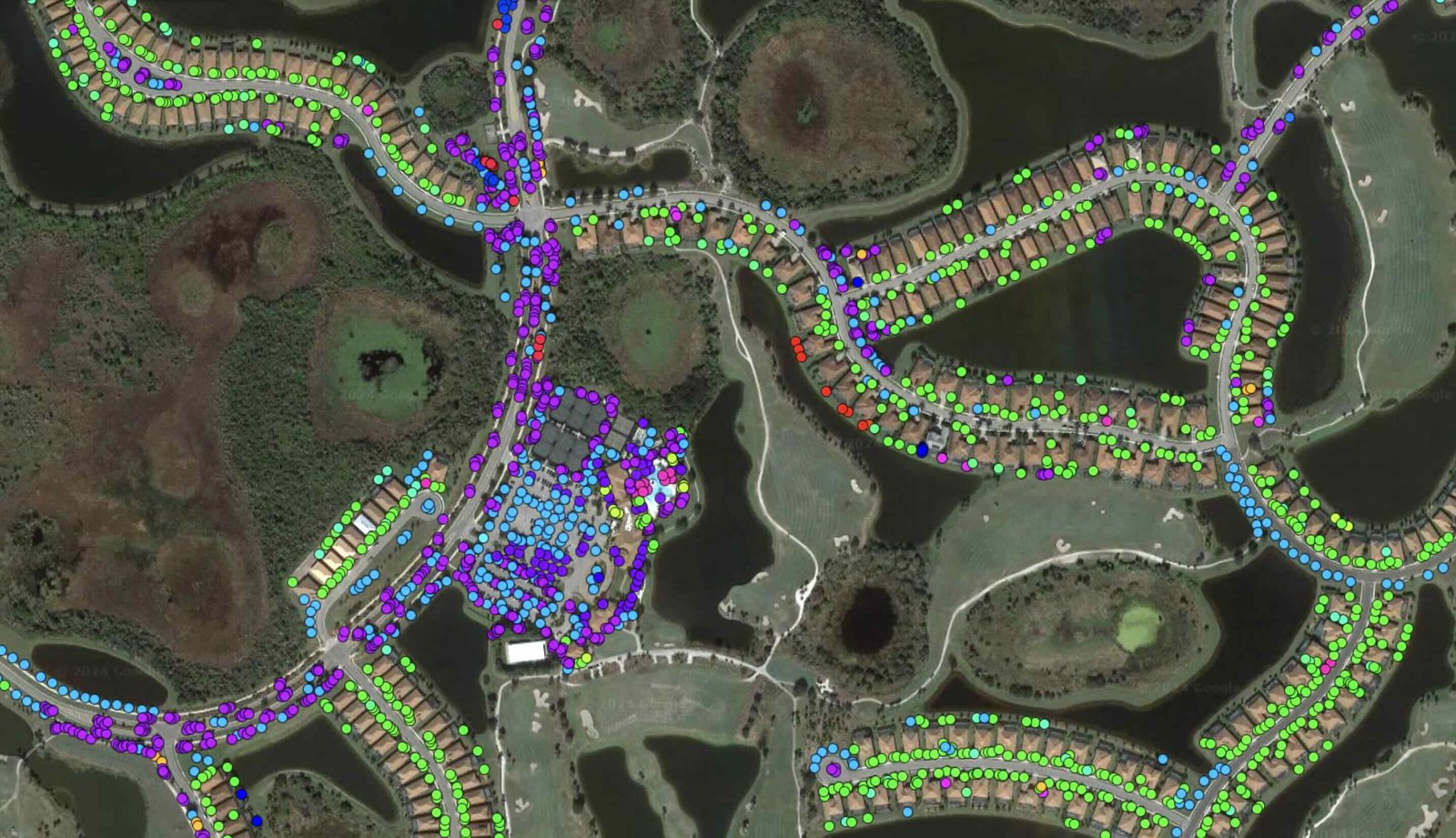
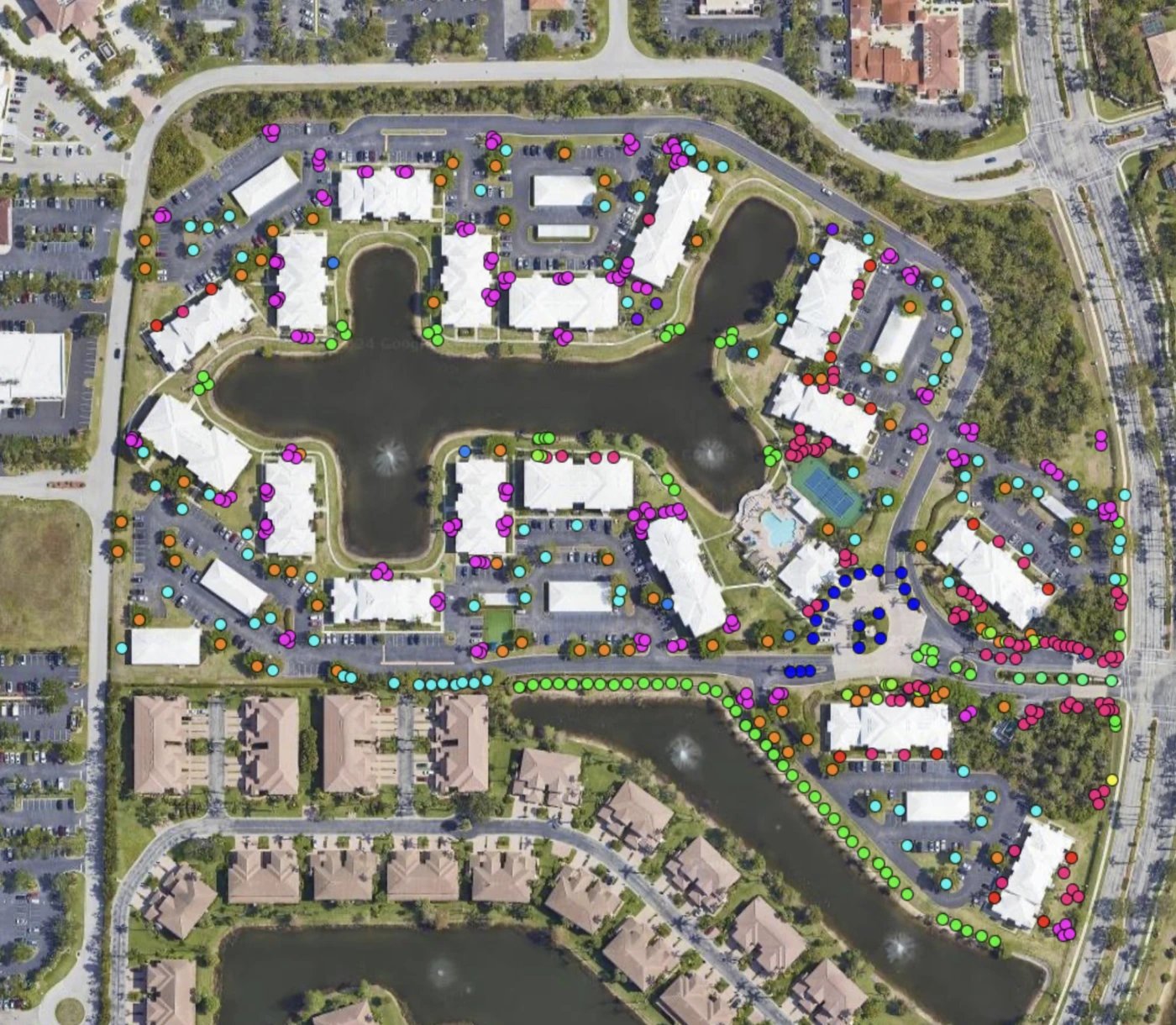
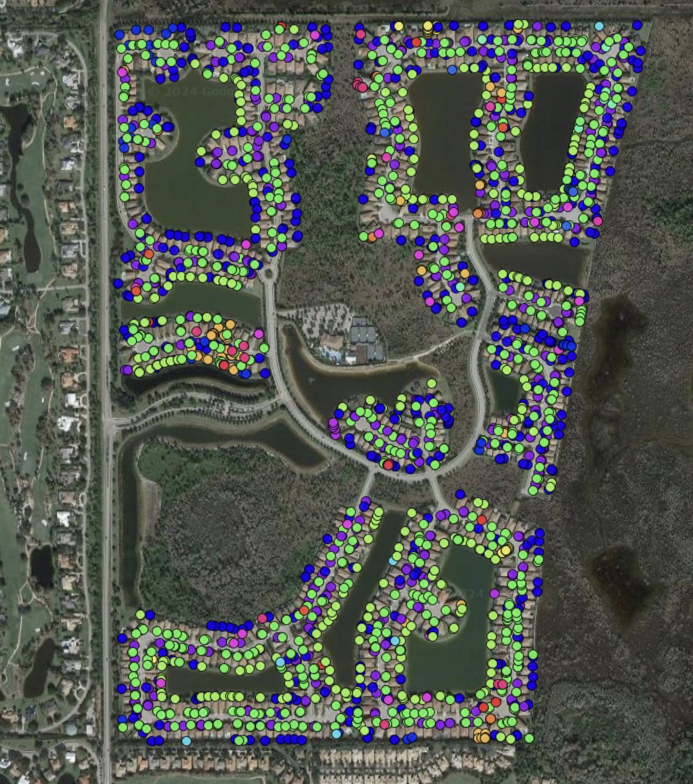
You cannot monitor, prioritize or budget what you have not counted. Our GIS inventory locates, identifies and sizes every palm and tree on the property.
- In our GIS inventory
- 166,412 palms and trees
- Per entry
- Species, size, location, condition, history
- Health Program clients
- Mapping included
- Shared
- In every report and when you ask
What we see in the field
Bids you cannot compare start with counts nobody agrees on.
When the count lives in a vendor's head, every bid prices a different property. A mapped inventory fixes the number. Every palm and tree is a point with a species, a location and a history. Palms on Standard and Advanced care are also graded for condition.
People do the mapping by walking the property, not a survey. A small margin of human error is possible, and it runs very low. We would rather say that out loud than defend a number as perfect.
Once the count is fixed, every crew works to the same scope and every invoice can be checked against it.
How we do it
Walk it, record it, keep it current.
- Walk and locate
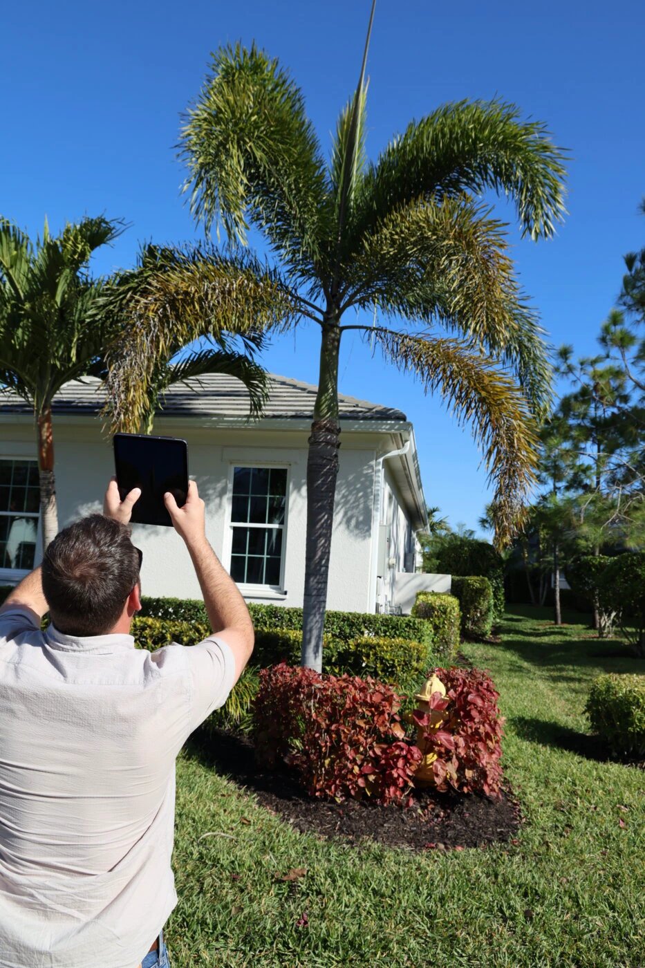
Our team walks the property and places every palm and tree.
- Identify and measure
Species, size class and the measured fields, entered on the spot.
- Photograph
Photos tied to each specimen ID, so the record shows the tree, not a description of it.
- Grade, if ordered
An arborist assessment alongside the mapping adds condition, defects and recommendations.
- Keep it current
Updated at every inspection. Remapped at renewal, or sooner after new construction, a large planting or a storm.
What is included
What goes into the record.
Location and species
A GIS point for every palm and tree, with its species and a stable ID that ties the photo, the map and the inventory line together.
Size
Canopy diameter, trunk diameter at 4.5 ft, and height. On palms, clear trunk and gray wood, which set spray height, the pruning band and the de-booting length.
Photos
Standard mapping carries a representative photo set by species. Full photo mapping puts a photo on every palm and tree.
Condition, where ordered
Graded Normal, Fair, Poor, Critical or Dead, with defects and recommendations, when an assessment is ordered alongside.
History
Every inspection adds a dated record. Nothing is overwritten, so the trend is there for the board to see.
Shared with you
The inventory comes with every report, and any time you ask.
Standards we work to
Measured the same way every time.
Our lines
- Our GIS inventory is the system of record. Other files point to it.
- Mapping is its own line, so you can buy an assessment, mapping, or both.
- People map the property, and we say so.
- The map is only as good as its last update, so every visit updates it.
The standard height for measuring a tree, so sizes compare across years and vendors.
Clear trunk from the soil line to the lowest frond stem; gray wood to the highest bare, hard trunk. Never used for each other.
Normal, Fair, Poor, Critical, Dead. Normal means 80 percent canopy health or better. It is the goal for every palm and tree.
Sources: Ptolemy Inventory Mapping and Data and Reporting specs; Inventory and GIS Mapping subject file; Business Shelf price list (what is included for program clients).
On the job
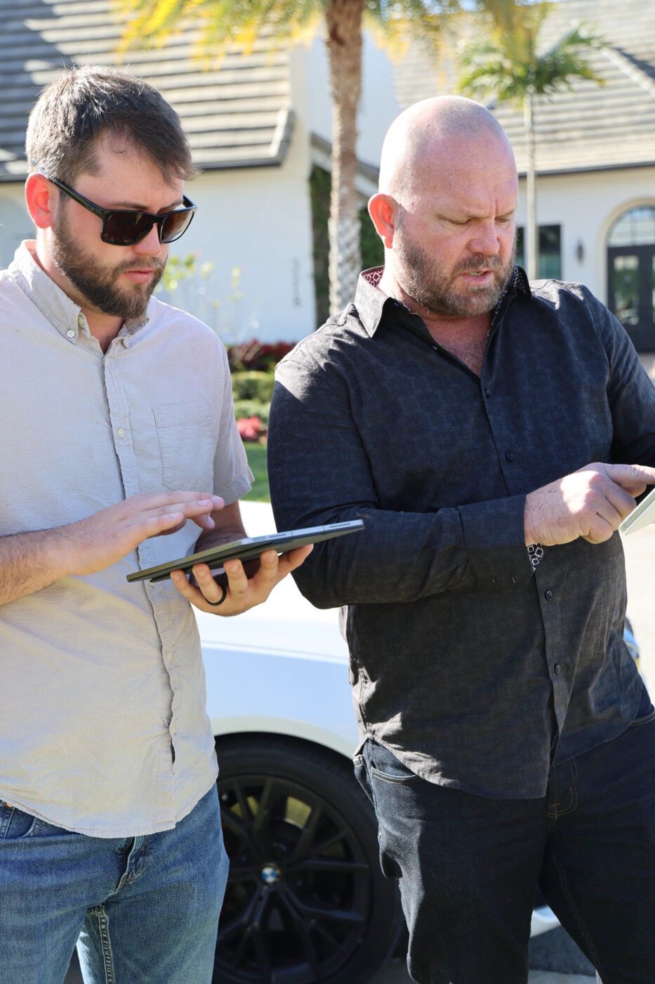
Inventory and mapping, in the field.
Who it is for
Written for the people who answer for the trees.
- CDD and ISD boardsAn asset register for living assets, ready for a public budget.
- HOA and POA boardsThe real count behind the budget, so the number holds up.
- Community association managersAnswer "how many palms do we have?" in one email.
- Golf course superintendentsEvery tree on the course, hole by hole.
Inside a plan
Mapping sits under Monitor, at every tier.
For Health Program clients, inventory mapping of palms and trees is included, and so is the reporting built on it. On a Palm and Tree Master Plan, the budget is built from the specs and the counts, year by year, as the palms and trees grow and change size.
Questions
Questions managers and boards ask.
Still have a question? Call (239) 467-0142 or send a request.
What do we get from an inventory?
Is mapping included in the Health Program?
Can we log in and see it?
How accurate is it?
Do you map trees or just palms?
Next step
Know exactly what you have.
Start with the count. Every plan, bid and budget after it gets easier.